- Home
- |
- Screen Reader Access
- |
- Skip to main content >>
- |
- T T T T
- |
- Font Size: A- A A+
- |
- FAQs
- |
- Feedback
- |
- Help
- |
- Contact Us


The District of Angul situated at the heart of Odisha was a part of Undivided Dhenkanal District till early March 1993, but for the administrative convenience, Dhenkanal District was divided into two parts i.e. Dhenkanal and Angul vide State Government Notification No. DRC-44/93/14218/R. dated 27 March 1993. Angul District came into existence as a separate District on April 1, 1993. The District is surrounded by Cuttack &Dhenkanal on the east, Sambalpur&Deogarh on the west, Sundargarh&Keonjhar on the north and Phulbani on the south. Covering an area of 6232 sq.km, Angul District is located at Latitude 20.50 North to 85.00 East Longitude.The altitude of this place is 564 to 1187 mts. Angul District is densely populated as per the 2001 census.The District has 1930 villages having 11, 40, 003 population. Total population comprises of 5, 87, 234 male population and 5, 52, 769 female population. District‘s rural population is more compared to its urban population, as is the case in almost all other Districts of the state. Total rural population of the District is 9, 81, 587 while total urban population is 1, 58, 416. as per 2001 census. The District has 1,96,109 SC and 1,32,994 ST population.
There are a number of industries / plants are here i ‘e Nalco, JITPL, JSPL as well as a number of sponge iron factories. Angul District has specially taken it’s importance for coal transportation and NTPC at Talcher and Colliery area.
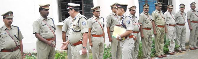
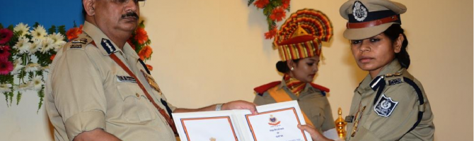
The Administrative headquarters of the Angul District is located at Angul city. In the present scenario of the administrative set up, there are 4 sub division, 8 tahsils and 8 blocks in the District. There are total number of 209 Gram Panchayats, 2 Municipalities, 1 Notified Area Council (NAC), and 23 Police stations functioning in the District of Angul including Energy PS.


Disclaimer:This is the official website of Angul District Odisha Police.The Website is developed and hosted by National Informatics Centre. The Angul District Odisha Police, is the owner of the Website.